

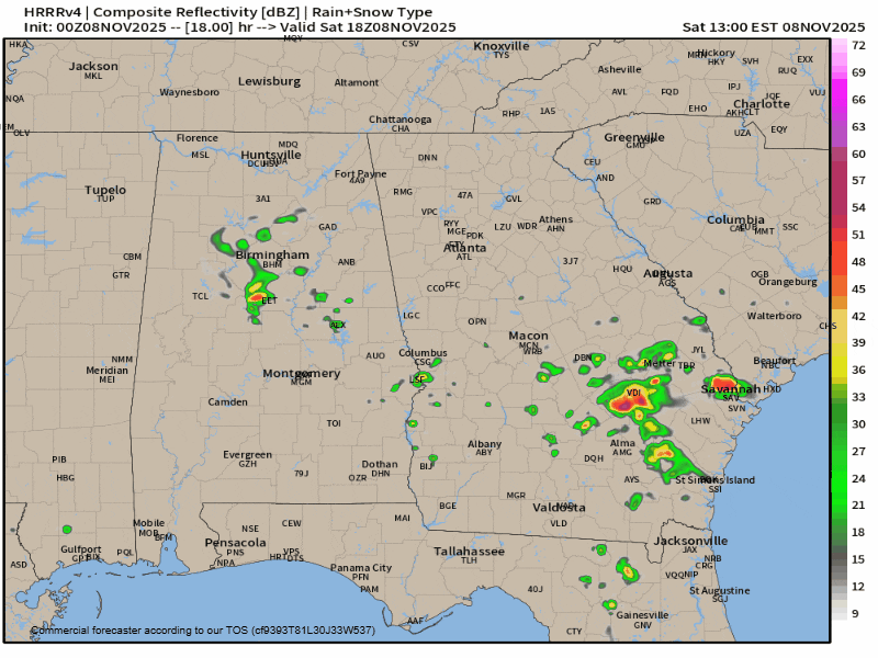
The cold weather is almost here. First up, though, we have another chance of storms across the region. High resolution models have come into good agreement on isolated to scattered storms developing across North Georgia ahead of the approaching front. These storms are mostly likely from 3PM onward Saturday afternoon and will be moving quickly from southwest to northeast. I can’t rule out an isolated strong or possibly severe storm on Saturday afternoon/evening with hail and gusty winds being the main threats.
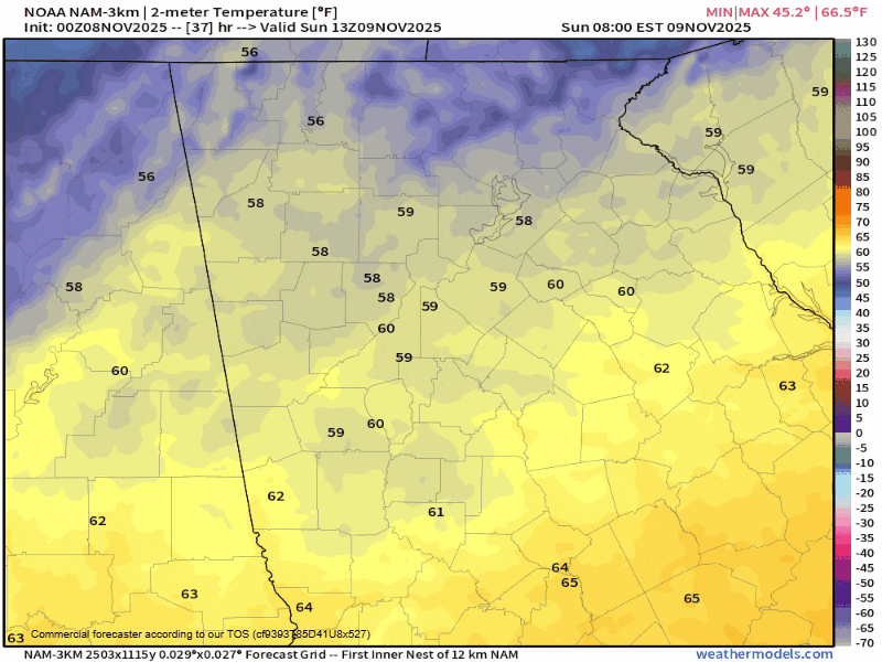
Additional showers are likely along the cold front Sunday morning. High temperatures on Sunday will be radically different depending on where you live. The highs to the northwest of the high elevations (Clayton, Hiawassee, Blairsville, Blue Ridge, Suches, etc) will likely occur on Sunday morning. Temperatures will begin to fall in these locations around 12-1PM and drop into the 30s by 4 or 5PM. To the southeast of the higher elevations (Clarkesville, Cleveland, Dahlonega, Dawsonville, etc) the mountains will briefly slow down the approaching cold air. Highs will reach into the low/mid-60s by the afternoon, but temperatures even here will begin to plummet from 3/4PM onward. Overnight lows will drop below freezing region-wide.
The higher elevations will likely see some snowfall from this system as moisture is wringed out in the approaching dry/cold air. Spots above 2500-3000ft (Suches, Neels Gap, Unicoi Gap, Hogpen Gap, etc) could briefly pick up a dusting early Monday morning, with the Brasstown Bald over area 4,000ft seeing up to 1/2″. Flurries could extend across much of the region before sunrise on Monday but will likely be contained to the mountains by mid-morning at the latest.
Overnight Monday night a widespread hard freeze is expected. Low temperatures will dip into the mid/upper-20s, putting an end to the growing season. Now is a great time to review the four P’s of cold weather preparedness: people, pets, plants and pipes.
People: Make sure any elderly or other needy have working heat for this outbreak. It hasn’t been cold enough to really fire up the heat at full blast, so a test run would be a good idea before this cold snap arrives.
Pets: Bring pets inside, if you’re cold they are cold too. For any pets that can’t come inside: be sure they have good bedding and a way to get out of the wind.
Plants: Bring in any sensitive plants.
Pipes: Protect any and all outdoor facing pipes. Cover all exterior spigots with at least a Styrofoam cup, and be sure all other exposed pipe is wrapped with insulation. Nobody wants to wake up to a busted pipe.
Temperatures will begin to moderate quickly on Tuesday with highs back into the 50s, and we will likely return well into the 60s or low-70s by the end of the week.