

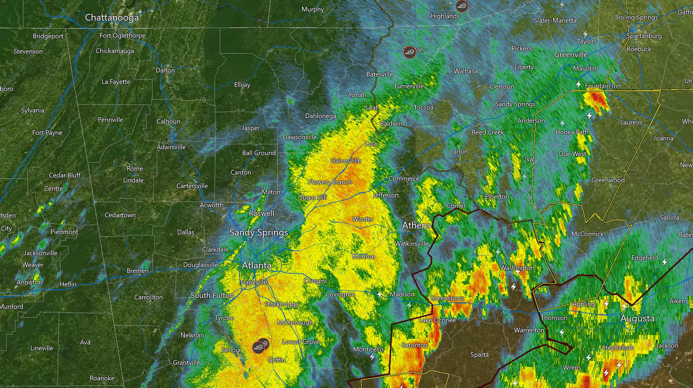
A Tornado Watch remains in effect through 10AM for Baldwin, Bibb, Crawford, Greene, Hancock, Jones, Macon, Marion, Oglethorpe, Peach, Putnam, Schley, Stewart, Sumter, Taliaferro, Taylor, Warren, Webster, Wilkes Counties.
A Severe Thunderstorm Watch is in effect through 11 AM for Elbert, Franklin, Habersham, Hart, Lincoln, Rabun and Stephens Counties.
MORE Freeze Warning issued for North and Central Georgia
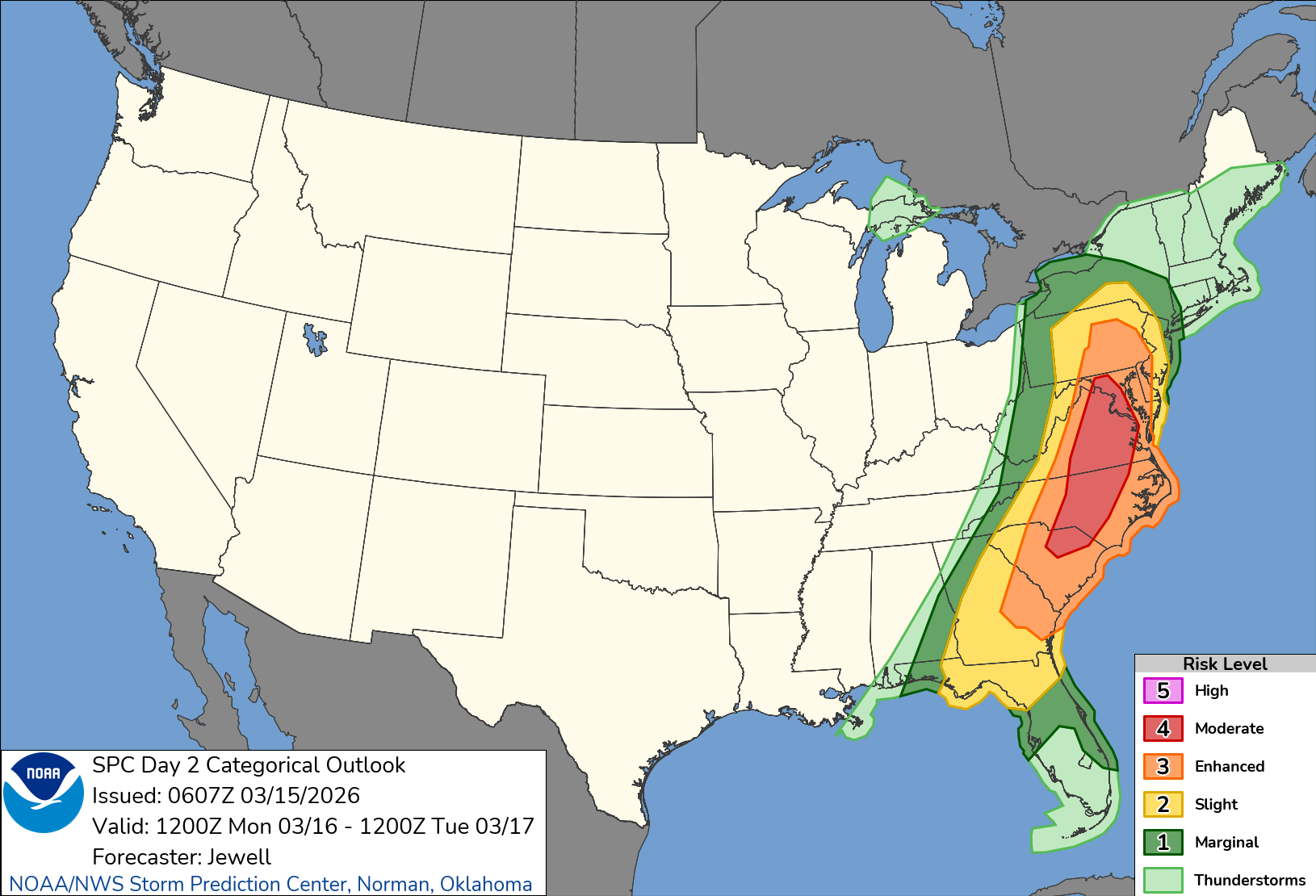
Severe Threat shifts east
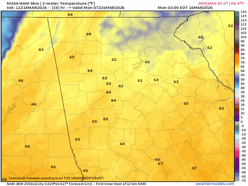
The severe threat is expected to continue east with a widespread damaging wind event expected over the eastern Carolinas today. Additional severe storms are expected across far southeast Georgia. As the line of storms moves past your location the severe threat will end as temperatures plummet. We saw a 5-10º drop almost immediately behind the front with a more gradual fall after that in locations to our west. Northwest Georgia has already fallen into the upper-40s in many spots.
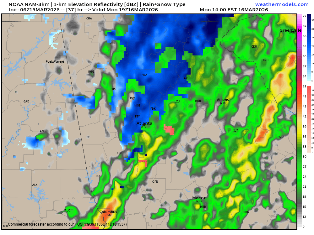
Cold, rain/snow mix and gusty winds
With temperatures in free-fall mode all day, it only makes sense we turn our attention to winter weather from spring. Temperatures will be below freezing region-wide by midnight and lows on Tuesday morning are expected to bottom out in the low/mid-20s. A Freeze Warning is in effect for the entire state under the Peachtree City weather service office, but these temperatures are not at all unusual for this time of year.
Because of this quickly moving cold air, models are in increasingly good agreement that we will see a rain/snow mix on the backend of the precipitation on Monday afternoon. The best timing for any snowflakes will come 1PM-4PM. No accumulations or impacts are expected, but the total turnaround from storms to possibly snowflakes is only about 6 hours.
Winds will be very gusty throughout the day Monday with northwest winds gusting at 30-35 m.p.h. likely. The higher elevations could see some isolated gusts up to 40 m.p.h. These winds will die down some overnight but gusts of 20-25 m.p.h. are expected on Tuesday as well.
Stay weather aware and we will keep you up to date on the latest.


